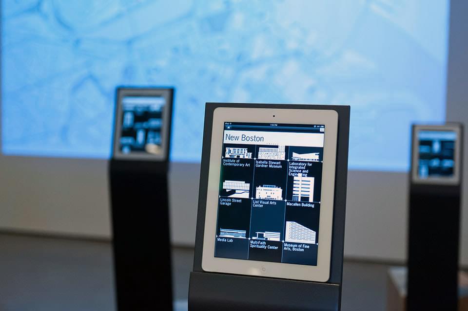
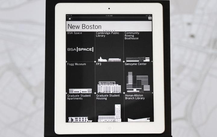
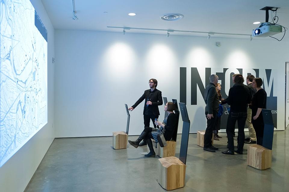
A tablet app and multi-user projection system that highlights significant works of architecture in the Boston metro area. Was in use at the Boston Society of Architects for the duration of the InForm exhibit curated by over,under.
role
I built the App, backend catalogue tools, custom map, and projection system for over,under. The goal was to create an environmental experience for gallery visitors to learn more broadly about Boston’s architectural fabric. Users can explore an index of over a hundred notable buildings: their construction information, stakeholders, construction photography, quotes from architectural historians and maps. As they browse the index, their actions are logged to a projected map of Boston which traces a unique path for each client device, their actions taken, buildings visited, and falls back to a screensaver of the index when inactive.
design
The system was designed to support content generation from end users and dynamic communication between multiple clients and a projection server. Getting there involved experimentation with messaging patterns (OSC, generic UDP, websockets, long-polling), converting a printed map to a scalable web map with MapBox’s TileMill, and porting the system to a server connected to the in-house projection system.

- custom WordPress backend with structured data fields:
- GIS data, photography, quotes, writing, status, region
- browsable UI consisting of flippable “cards” with simple information, larger panels triggered via AJAX calls for more info


future
The system was designed to be easily replicable for other cities and we had reasonable success doing so. Subsequent iterations of the InfoSpace App system were used to drive 4dDoha and Pittsburgh Projects.